GeoDLL 18.00
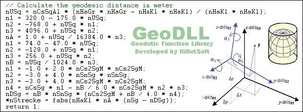
GeoDLL is a Geodetic Development Kit / Geodetic Function Library with worldwide 2D and 3D Coordinate Transformation, Datum Shift, Meridian Convergence and Extra Parameter with highest accuracy. Helmert, NTv2, HARN, INSPIRE, EPSG, DEM and much more
Product Specifications
| User Rating: | item has less then 1 vote |
|
| FileCart Rating | ||
| Submitted by: | xyxyxy | |
| Homepage | Visit Homepage | |
| License | Shareware | |
| Price | $610 | |
| Downloads | 635 | |
| OS Support | Windows Install and Uninstall | |
| File Name | geodll.zip | |
| File Size | 4.73 MB ( 4,845 KB ) | |
| Published | Dec 28, 2005 (21 years ago) | |
| Updated | Dec 29, 2017 (9 years ago) | |
Follow Us!
Latest Searches
"The Truth About Free Xbox Gift Card Codes" 4 minutes ago
polyu genai 7 minutes ago
napoleon film 1795 1800 8 minutes ago
why does sabers armor vanish 9 minutes ago
transboy xvideo 12 minutes ago
world architects 13 minutes ago
nami robin and vivi xramster 13 minutes ago
wattala movie theater 13 minutes ago
mejor hora para quemar cosas y transmutar 14 minutes ago
Popular Searches
id cards 602 times
2025 495 times
2024 386 times
Softperfect 328 times
2026 282 times
5g spf sonicwall compatible copper module 275 times
Database Workbench Pro 258 times
targetamazon credit card.asp?highlight=0 256 times
TeraByte Drive Image Backup and Restore 255 times
Product Details
| Requirements: | Pentium, 20 MB free Disk |
| Release Info: | Major Update on Dec 29, 2017 |
| Release Notes: | Highly accurate NTv2 system of the federal state Baden-Wuerttemberg. All Coordinate Reference Systems from Iceland. New Coordinate System NAC-Code. New help topic "WGS84 / ITRS Epochs / Continental Drift". Meridian Convergence, Origin Center Meridian, Geographical Point. Time Zone calculations. |
| Related Tags: | development kit coordinate transformation gis development dll gis |
Reviews
Reviews of GeoDLL 18.00
You can be the first to write a review of GeoDLL!Other products submitted by this publisher
The freeware program CONVERT from KilletSoft converts databases and files between the dBase, CSV and SDF data formats and the character sets ANSI, ASCII, UTF8 and Unicode. Thus the import of the data in any DBMS will be possible.
DRAGSENSDRAGSENS Geo Software is used for the exact position estimation of a towed body, sensor, camera, array or net, dragged behind a ship, aircraft or vehicle. The software allows a real-time estimation of the position of a dragged sensor.
Geodata GermanyThe database contain geodata of the Federal Republic of Germany with geo referenced towns, municipalities, town quarters, administrative units, postal codes, telephone preselections, nature areas, landscapes, climatic zones for proximity searches ec.
Geodata GermanyThe database contain geodata of the Federal Republic of Germany with geo referenced towns, municipalities, town quarters, administrative units, postal codes, telephone preselections, nature areas, landscapes, climatic zones for proximity searches ec.
Geodata GermanyThe database contain geodata of the Federal Republic of Germany with geo referenced towns, municipalities, town quarters, administrative units, postal codes, telephone preselections, nature areas, landscapes, climatic zones for proximity searches ec.
Most Viewed Windows ActiveX
Barcode Generator ActiveX/OCX TBarCode 11.1.2
vbSkinner Pro 2.6
BarCodeWiz Barcode ActiveX Control 4.87
Dynamic Web TWAIN 12.2
TeeChart Pro ActiveX 2018
ActiveComport Serial Port Toolkit 3.0
FlexCell Grid Control for ActiveX 6.3.3
ActiveSocket Network Toolkit 3.0
csXImage 5.0
Most Downloaded Windows ActiveX
vbSkinner Pro 2.6
Dynamic Web TWAIN 12.2
ActiveComport Serial Port Toolkit 3.0
Face Recognition ActiveX DLL 1.1
FlexCell Grid Control for ActiveX 6.3.3
TeeChart Pro ActiveX 2018
Bricolsoft Zip ActiveX Component 2014
Customized Windows Logon DLL 1.25
CADViewX: ActiveX for DWG, DXF, PLT, CGM 8.0