Geodata Germany 22.02
The database contain geodata of the Federal Republic of Germany with geo referenced towns, municipalities, town quarters, administrative units, postal codes, telephone preselections, nature areas, landscapes, climatic zones for proximity searches ec.
Product Specifications
| User Rating: | item has less then 1 vote |
|
| FileCart Rating | Not yet Rated | |
| Submitted by: | xyxyxy | |
| Homepage | Visit Homepage | |
| License | Data Only | |
| Price | $175 | |
| Downloads | 582 | |
| OS Support | Windows Install Only | |
| File Name | geodatde.zip | |
| File Size | 3.05 MB ( 3,125 KB ) | |
| Published | Oct 02, 2013 (13 years ago) | |
| Updated | Jan 25, 2018 (8 years ago) | |
Follow Us!
Latest Searches
win 11 excel win k not working 4 minutes ago
12T5G125 11 minutes ago
3) Choose the correct scientific notation.7350 = ?highlight=0 11 minutes ago
RT 34 F1 setumeisyo 13 minutes ago
C short DigitFreq 14 minutes ago
walker brothers make it easy on yourself kettledrums 14 minutes ago
black brown skin women with big tits fucking anal 15 minutes ago
sony sound forge pro 14 full crack 16 minutes ago
gentletext 20 minutes ago
Popular Searches
id cards 602 times
2025 480 times
2024 386 times
Softperfect 327 times
2026 267 times
Database Workbench Pro 258 times
TeraByte Drive Image Backup and Restore 255 times
Elcomsoft Phone Breaker 251 times
ia que faz video com imagem 18 245 times
Product Details
| Requirements: | Alle Systeme |
| Release Info: | Major Update on Jan 22, 2018 |
| Release Notes: | All databases actualized on level 1st January 2018. Reactivated License Plates entered in database KREIS. All Town-Databases ORT????? with most plausible telephone pre-selection. All Town-Databases ORT????? with unique record ID for easy updating. 8100 new urban districts added to ORTTL????. |
| Related Tags: | geo data geodata coordinate coordinates |
Reviews
Reviews of Geodata Germany 22.02
You can be the first to write a review of Geodata Germany!Other products submitted by this publisher
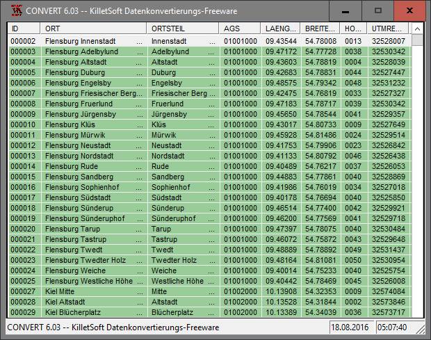
The freeware program CONVERT from KilletSoft converts databases and files between the dBase, CSV and SDF data formats and the character sets ANSI, ASCII, UTF8 and Unicode. Thus the import of the data in any DBMS will be possible.
DRAGSENSDRAGSENS Geo Software is used for the exact position estimation of a towed body, sensor, camera, array or net, dragged behind a ship, aircraft or vehicle. The software allows a real-time estimation of the position of a dragged sensor.
Geodata GermanyThe database contain geodata of the Federal Republic of Germany with geo referenced towns, municipalities, town quarters, administrative units, postal codes, telephone preselections, nature areas, landscapes, climatic zones for proximity searches ec.
Geodata GermanyThe database contain geodata of the Federal Republic of Germany with geo referenced towns, municipalities, town quarters, administrative units, postal codes, telephone preselections, nature areas, landscapes, climatic zones for proximity searches ec.
Geodata InternationalGeodata International - World-wide database of countries with georeferenced towns, municipalities, postal codes and administrative units with WGS84 and UTM coordinates and elevations for geocoding, proximity search, navigation, distance calculation.
Most Downloaded Windows Signature Tools
Cute FLV Player 1.1
Accent RAR Password Recovery 3.60
Weather Signature 1.50
abtoVNC Viewer for Windows SDK 1.3.3
MS Access Tables To SQLite Converter Software 7.0
SQLite Tables To MS Access Converter Software 7.0
Live Signatures 2.5.6
CodeTwo Email Signatures 1.0
GameSwift 2.3.7.2022