Topography in AutoCAD 2.3
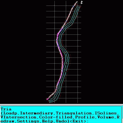
An add-on for AUTOCAD or BricsCAD, for the TRIANGULATION of a set of point, isolines, KML 2D and 3D creator, the VOLUME of a set of 3dface entities, loading of XYZ points files, surface flatness and sections.
Product Specifications
| User Rating: | item has less then 1 vote |
|
| FileCart Rating | Not yet Rated | |
| Submitted by: | rcad | |
| Homepage | Visit Homepage | |
| License | Shareware | |
| Expires | 18 Uses | |
| Price | $39 | |
| Downloads | 698 | |
| OS Support | Windows Install and Uninstall | |
| File Name | a_triang.zip | |
| File Size | 2.46 MB ( 2,520 KB ) | |
| Published | Jul 08, 2010 (16 years ago) | |
| Updated | Jun 22, 2015 (11 years ago) | |
Follow Us!
Latest Searches
haberdairesi 50 seconds ago
ssd speed test 50 seconds ago
sta2 macbook 3 minutes ago
Which of the following children will most likely be the rebellious one?Choose from the following options. First born Third born Fifth born Seventh born 5 minutes ago
strellas cooperative services 5 minutes ago
tenses 8 minutes ago
1Q9 16RN 8 minutes ago
1pynm6y lgyffr3.com 8 minutes ago
1xbet200promo.com 8 minutes ago
Popular Searches
id cards 602 times
2025 495 times
2024 386 times
Softperfect 328 times
2026 282 times
5g spf sonicwall compatible copper module 276 times
Database Workbench Pro 258 times
targetamazon credit card.asp?highlight=0 258 times
TeraByte Drive Image Backup and Restore 255 times
Product Details
In addition, you can draw a DWG file in Google Earth, by generating a 2D or 3D KML file type. The DWG file can be in any projected coordinate system and from any part of the globe.
It is also possible to determine the flatness of the surfaces and you can import and export LandXML file type!
| Requirements: | AUTOCAD version at least 2010 or BricsCAD at least V14 |
| Release Info: | New Release on Nov 15, 2022 |
| Release Notes: | It can be purchased with 3 months subscription. |
| Related Tags: | AutoCAD Add-ons Topography KML creator KML 3D XYZ File |
Reviews
Reviews of Topography in AutoCAD 2.3
You can be the first to write a review of Topography in AutoCAD!Other products submitted by this publisher
An add-on for AUTOCAD or ZWCAD which determines the intersection curves between 2 sets consisting of 3DFACE, 3DSOLID or 3DMESH entities. It can also generate cross sections to a POLYLINE and can draw the conversion to 3DFACE of the 3DSOLID.
DEVELOPED SECTION for AutoCADAn add-on for AUTOCAD or BricsCAD, which determines the unfolded section of one set of 3DSOLID, 3DMESH or 3DFACE entities and vertical planes passing through a 2D POLYLINE which may contain arcs, in XOY plane. It also extract multiple PDF from a DWG.
FURNITDesign of furniture. An add-on for AutoCAD 2007-2017! You can project bodies composed from plates and assemblings. Holes, grooves or edgings can be applied. Execution drawings and lists are automatically generated.
GWB Get wooden beamsAn add-on for AUTOCAD wich identifies wooden beams from 3D DWG drawings of wooden houses. The result of the program is a drawing with the identified parts (numbered and dimensioned) and a file of quantities that can be loaded into EXCEL.
RTOPOSimple, powerful and inexpensive CAD software for surveying. You can do triangulation, isolines, color-filled contour maps, sections, intersections, volume and much more. You can process hundreds of thousands of points or triangles.