RoboGEO 6.3.2

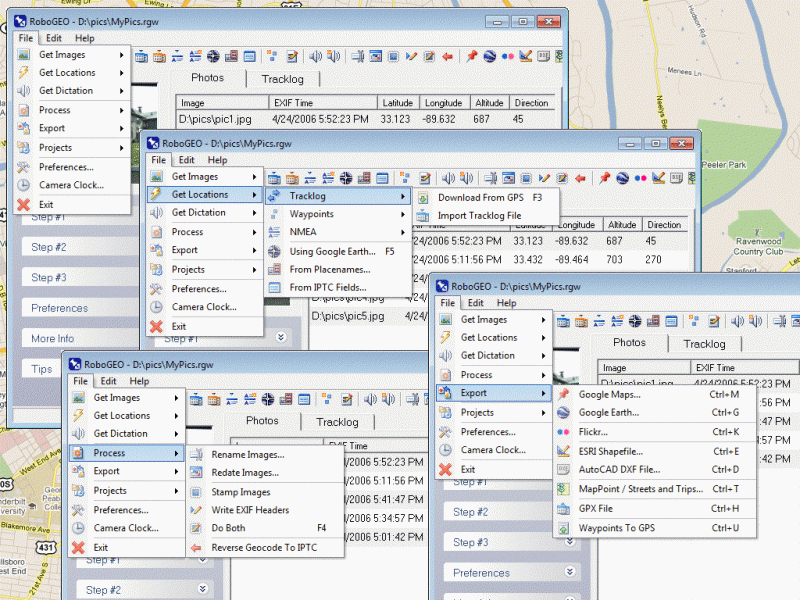
Geocode digital photos with latitude and longitude values. Stamp the images or write to the EXIF. Export to Google Earth, Google Maps, Shapefiles (SHP), AutoCAD DXF, GPX, Flickr and more. Import all GPS tracklog formats. MGRS and UTM support.

Product Specifications

Download Alternate Download
Purchase for $79.95
User Rating:

item has less then 1 vote
FileCart Rating
Submitted by:
Homepage Visit Homepage
License Demo
Price $79.95
Downloads 778
OS Support Windows Install and Uninstall
File Name rgeo.msi
File Size 9.28 MB ( 9,498 KB )
Published Nov 18, 2003 (22 years ago)
Updated Dec 15, 2013 (12 years ago)

Follow Us!

Please like us on facebook!

Latest Searches

"Celebrity Call Girls in Virnendra Khand, Lucknow –" 1 minute ago
dogsaloncredy.com 1 minute ago
craig bidiman 7 minutes ago
chantilly castele architecture style 9 minutes ago
2772 security Box The Black Advokats Ltd 100 Parliament StreetWestminster London SW1A2BQ 9 minutes ago
"\n%c" 9 minutes ago
Edit how positioned on doctor report: 208D00000X for General Practice 10 minutes ago
dying light 1 steam 11 minutes ago
Riedel Bolero Wireless Intercom (20 Pack Config) 13 minutes ago
samsung 62 inch plasma tv launch date 16 minutes ago

Popular Searches

Office Installer 1.28 Final 809 times
id cards 602 times
2025 413 times
2024 385 times
Softperfect 317 times
Database Workbench Pro 258 times
TeraByte Drive Image Backup and Restore 255 times
Elcomsoft Phone Breaker 251 times
Elcomsoft Phone Viewer 232 times
SAM Broadcaster Cloud 223 times

Product Details

Geocode digital images with latitude, longitude, altitude, and direction information. RoboGEO stamps this information onto the images or writes it to the EXIF, allowing you to permanently geocode and link your photos to the GPS coordinates. All writing to the EXIF and IPTC headers is lossless and all of the existing comments (including the MakerNote and the Adobe XMP metadata) are preserved. Includes a Picasa-style geotagger for Google Earth. Create web pages that use Google Maps, export KML or KMZ files to Google Earth, upload geotagged photos to Flickr, export ESRI SHP shapefiles, export to MapPoint, or export DXF files to AutoCAD or IntelliCAD. Show the photo direction on maps and calculate it from the GPS tracklog. Merge EXIF or IPTC tags into the image titles and descriptions. Record dictation using any modern digital voice recorder and automatically associate audio with the photos. Rotate or redate images based on the EXIF info. Export GPX files. Edit the EXIF times. Lookup altitudes knowing only lat/lon. Photo locations can be projected to a new location in either ground or airplane mode. Free EXIF/IPTC viewer. Geocode any type of JPG, PNG, BMP, TIF, DNG, NEF, CR2, MRW, ERF, RAF, ORF, PEF, ARW SR2, SRW, RW2, RAW, RWL, and MEF. Directly supports Garmin GPS units (USB or COM), but no GPS is required. Geocode images from a GPS tracklog, KML or KMZ files, NMEA sentences, waypoints, known place names OziExploer PLT files, or TCX files. Import GPX files for interfacing with other GPSs like Magellan and Trimble. Import shapefiles. Rename images per the EXIF data. IPTC editor. UTM and MGRS support. Use any digital camera. Internationally aware. Very easy to use. Nice user interface. Can be fully automated from the command line. Perfect tool for aerial photography, land surveyors, engineers, insurance claim adjusters or anyone who needs to collect field data for integration into a GIS system. Affordable. Free lifetime upgrades. Extensive documentation.

Requirements: Windows XP/2000/Vista/Win7
Release Info: Major Update on Feb 25, 2012
Release Notes: Added Google Earth polygon file support and the ability to export HTML and enhanced the user-interface
Related Tags: geocode georeference geotag photo image

Reviews

You must be logged in to write a review

Reviews of RoboGEO 6.3.2

You can be the first to write a review of RoboGEO!