7downloads
1this week
FreeCommercial
0reviews
Screenshots
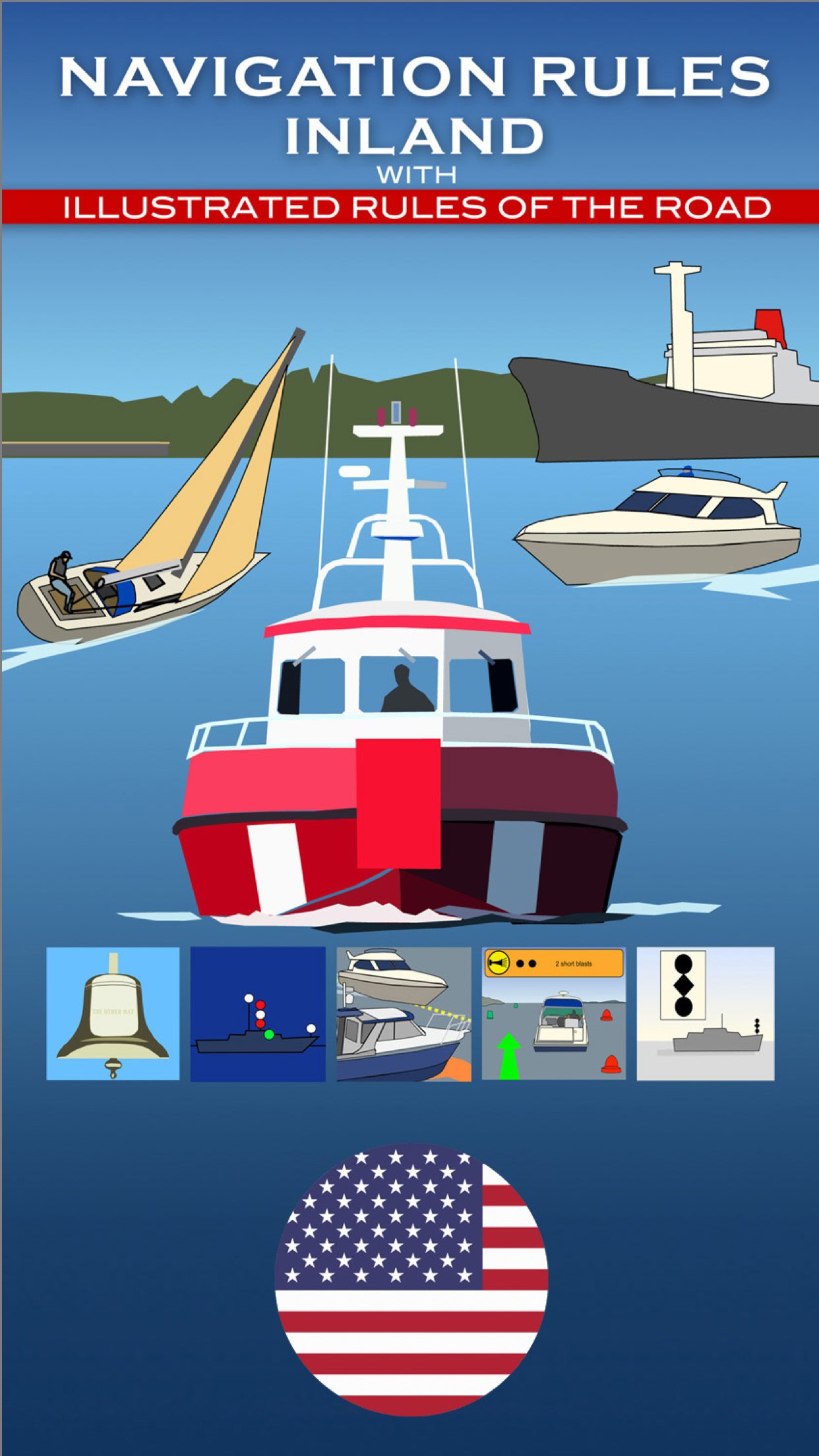
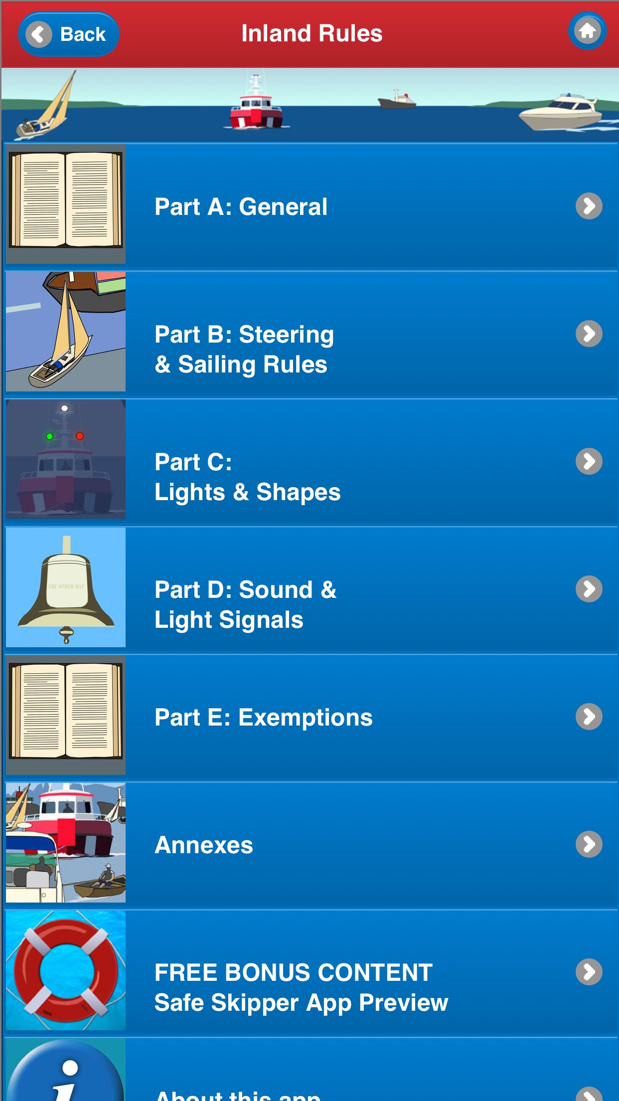
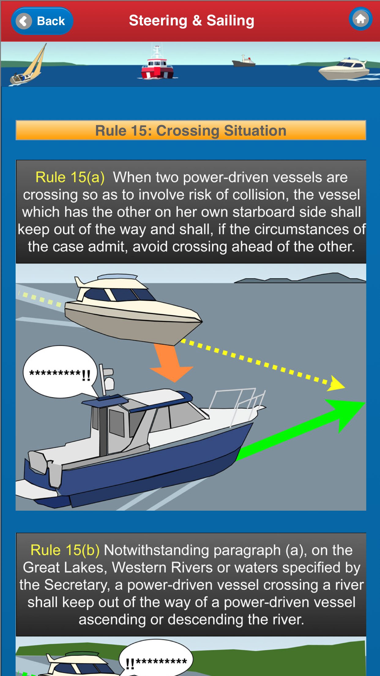
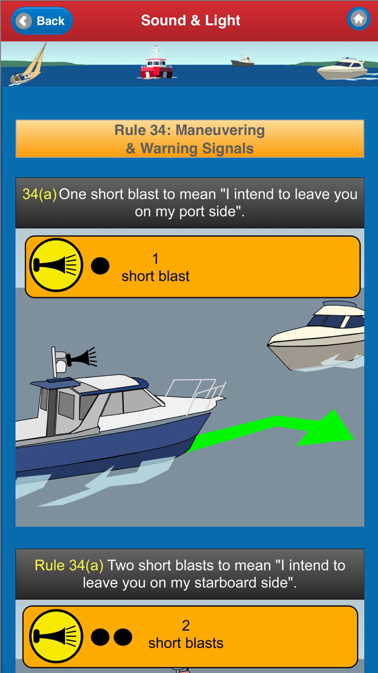
About U.S. Inland Navigational Rules
Essential Information for All Boat Users.
Now includes Search function, Quick Get Location (your current latitude and longitude) with save and export, and Text Size/Reading mode.
Complete Inland Navigation Rules for all U.S. inland waters and the Great Lakes. With 100+ specially produced explanatory illustrations and captions. For all boaters.
Plus FREE bonus emergency procedures section.
************ FEATURES and BENEFITS *******************
- For reference, learning & revision
- Over 100 custom made graphics for quick reference and easy learning
- Researched and produced by nautical and marine experts for accuracy
- Positively evaluated by professionals for reliability
The complete Inland Navigation Rules for the United States including Parts A, B, C, D and E, plus Annexes, Interpretative Rules and other associated Navigation Regulations are all included in this app. See details below.
A bonus illustrated section includes emergency procedures for boaters to follow when in difficulty.
Anyone who is responsible for a vessel, from the smallest dinghy to an ocean going freighter, must be able to recognize other vessels around them by day or night, whatever the visibility. They need to be able to quickly interpret what other vessels are doing, who has right of way and what action they should take to prevent a possible collision. This is not always easy, especially along crowded rivers, narrow channels, in harbors or in poor visibility.
NAVIGATION RULES INLAND includes the fully illustrated Rules of the Road - great for quick reference and easy learning.
• Steering & Sailing Rules [ILLUSTRATED]
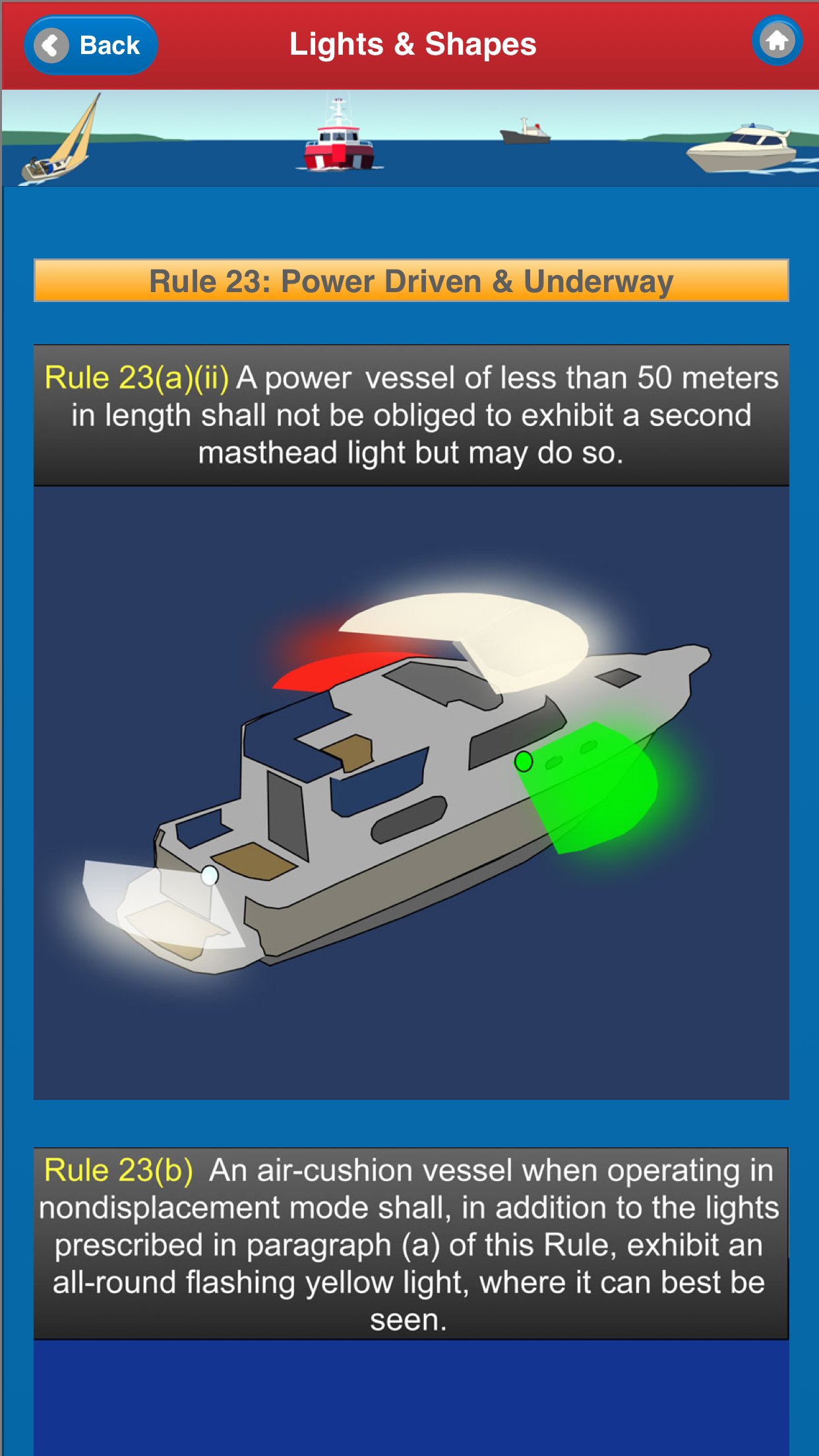
• Lights & Shapes [ILLUSTRATED]
• Sound & Light Signals [ILLUSTRATED]
NAVIGATION RULES INLAND also includes the complete detailed rules as follows:
* Exemptions
* Annex I - Positioning and Technical Details of Lights and Shapes
* Annex II - Additional Signals for Fishing Vessels Fishing in Close Proximity
* Annex III - Technical Details of Sound Appliances
* Annex IV - Distress Signals [ILLUSTRATED]
* Annex V - Pilot Signals
* Interpretive Rules
* COLREGS DEMARCATION LINES - detailed information of the lines of jurisdiction that separate the Inland and International Rules, as indicated on National Ocean Service navigation charts
* Alternative Compliance
* Waters upon which Inland Rules apply
* Vessel Bridge to Bridge Radiotelephone Regulations
* Vessel Traffic Services (VTS) Call Signs, Designated Frequencies, and Monitoring Areas
* Penalty Provisions
************* FREE Bonus Content from "Safe Skipper" *****************************
Safety Afloat Tips & Advice on Emergency Procedures for all Sailors and Leisure Boaters.
* Safety information & practical tips
* Specially created custom graphics: illustrations, photos & diagrams
* Advice on emergency procedures
* Stay safe and prevent accidents happening
* Written & illustrated by a qualified & experienced yachtsman
Includes information on:
* Abandoning ship
* Dismasting
* Distress signals
* Engine failure
* Fire fighting
* Getting a tow
* Helicopter rescue
* Holed hull
* MAYDAY procedures
* Medical emergency
* SAR signals
*****************************************
Customer feedback for Safe Skipper:
"Highly recommend this App, get it on your Phone or Tablet today"
"This app is full of really useful info for anyone going to sea (or inland waterways...). It's presented really well, and has some good graphics. Can't believe just how much they've packed in. Recommended."
"A well written and detailed app for yachts & inland craft also quite useful for ocean going vessels - well done."
*****************************************
Special thanks to Captain Richard J. Rodriguez, U.S. Coast Guard licensed Master and Director of Operations at Zenith Maritime for his helpful advice and recommendations.
License: Commercial
Now includes Search function, Quick Get Location (your current latitude and longitude) with save and export, and Text Size/Reading mode.
Complete Inland Navigation Rules for all U.S. inland waters and the Great Lakes. With 100+ specially produced explanatory illustrations and captions. For all boaters.
Plus FREE bonus emergency procedures section.
************ FEATURES and BENEFITS *******************
- For reference, learning & revision
- Over 100 custom made graphics for quick reference and easy learning
- Researched and produced by nautical and marine experts for accuracy
- Positively evaluated by professionals for reliability
The complete Inland Navigation Rules for the United States including Parts A, B, C, D and E, plus Annexes, Interpretative Rules and other associated Navigation Regulations are all included in this app. See details below.
A bonus illustrated section includes emergency procedures for boaters to follow when in difficulty.
Anyone who is responsible for a vessel, from the smallest dinghy to an ocean going freighter, must be able to recognize other vessels around them by day or night, whatever the visibility. They need to be able to quickly interpret what other vessels are doing, who has right of way and what action they should take to prevent a possible collision. This is not always easy, especially along crowded rivers, narrow channels, in harbors or in poor visibility.
NAVIGATION RULES INLAND includes the fully illustrated Rules of the Road - great for quick reference and easy learning.
• Steering & Sailing Rules [ILLUSTRATED]
• Lights & Shapes [ILLUSTRATED]
• Sound & Light Signals [ILLUSTRATED]
NAVIGATION RULES INLAND also includes the complete detailed rules as follows:
* Exemptions
* Annex I - Positioning and Technical Details of Lights and Shapes
* Annex II - Additional Signals for Fishing Vessels Fishing in Close Proximity
* Annex III - Technical Details of Sound Appliances
* Annex IV - Distress Signals [ILLUSTRATED]
* Annex V - Pilot Signals
* Interpretive Rules
* COLREGS DEMARCATION LINES - detailed information of the lines of jurisdiction that separate the Inland and International Rules, as indicated on National Ocean Service navigation charts
* Alternative Compliance
* Waters upon which Inland Rules apply
* Vessel Bridge to Bridge Radiotelephone Regulations
* Vessel Traffic Services (VTS) Call Signs, Designated Frequencies, and Monitoring Areas
* Penalty Provisions
************* FREE Bonus Content from "Safe Skipper" *****************************
Safety Afloat Tips & Advice on Emergency Procedures for all Sailors and Leisure Boaters.
* Safety information & practical tips
* Specially created custom graphics: illustrations, photos & diagrams
* Advice on emergency procedures
* Stay safe and prevent accidents happening
* Written & illustrated by a qualified & experienced yachtsman
Includes information on:
* Abandoning ship
* Dismasting
* Distress signals
* Engine failure
* Fire fighting
* Getting a tow
* Helicopter rescue
* Holed hull
* MAYDAY procedures
* Medical emergency
* SAR signals
*****************************************
Customer feedback for Safe Skipper:
"Highly recommend this App, get it on your Phone or Tablet today"
"This app is full of really useful info for anyone going to sea (or inland waterways...). It's presented really well, and has some good graphics. Can't believe just how much they've packed in. Recommended."
"A well written and detailed app for yachts & inland craft also quite useful for ocean going vessels - well done."
*****************************************
Special thanks to Captain Richard J. Rodriguez, U.S. Coast Guard licensed Master and Director of Operations at Zenith Maritime for his helpful advice and recommendations.
License: Commercial
| Release info | New Release on May 01, 2026 |
|---|---|
| Release notes | Now includes Search function, Quick Get Location (your current latitude and longitude) with save and export, and Text Size/Reading mode. Improved navigation and functionality. |
| Listing data | App Store |
Reviews
No reviews yet. Be the first to review U.S. Inland Navigational Rules.
Used U.S. Inland Navigational Rules? Tell other visitors what you thought.
Log in to write a reviewOther products by this publisher
- "No Distractions" for YouTube 4.10 ----
- #Bible 11.6 "Incredible App - My sister shared this app with me a few weeks ago and it is truly incredible.
- #filmphotography 1.4.2 So, you decided to shoot on film?
- $quirrel 1.5.1 $quirrel Budget & Finance helps you plan each paycheck, track spending, manage debt, and see what is safe to spend before the next payday.
- % Percentage Calculator Pro 1.41 This is the Pro version of % Percentage Calculator.
Most viewed iOS Navigation
-
1
 Compass App 1.0.5
Find your direction with style.
-
2
 CARFACE Car Widgets & Lyrics 1.2.0
Make every drive feel more personal with CarFace.
-
3
 iGlide Lite 2.9.66
NaviLogic iGlide - the Soaring Navigation app for iOS
-
4
 Open Road 1.2
Open Road is the one driving app for your iPhone.
-
5
 Turo 26.45.0
Turo is a better car rental app for travelers who want to rent a car without the rental counter.
-
6
 Kruger Birding by Firefinch 7.6.0
Go birding in South Africa's foremost birding spot: the world renowned Kruger National Park!
-
7
 Amtrak 6.1.8
Discover the convenience of traveling with Amtrak.
-
8
 Fly Delta 7.17.3
Welcome to Fly Delta, Delta’s award winning iOS app.
-
9
 Uber 3.747.10000
Join the millions of riders who trust Uber for their everyday travel needs.
-
10
 Lyft 2026.43.3
Get where you’re going with Lyft.
Most downloaded iOS Navigation
-
1
 Live Traffic 2.4
Navigate the globe with live traffic updates, satellite views, and location tools that make every journey clearer, smarter, and more confident from the very first tap.
-
2
 Peru’s Best 2.5
PERU’S BEST is the ideal travel guide to this extraordinary country.
-
3
 Grand Egyptian Museum (GEM) 0.1.060
You could call this a coincidence but the acronym of the Grand Egyptian Museum is an apt title for the GEM, which is truly one!
-
4
 Pocket Luach Deluxe 60058
Pocket Luach Deluxe is a Jewish calendar, zmanim, Siddur, Tehillim, and personal-event companion for iPhone, iPad, and Apple Watch.
-
5
 Outdoor Photography Magazine 7.2.10
Outdoor Photography is the magazine for photographers who are passionate about being out in wild places, seeing inspiring nature and having great adventures.
-
6
 Passeporté 1.3.2
Passeporté reads the NFC chip in your biometric passport or national eID card, verifies its authenticity, and stores the data securely on your device.
-
7
 Great Circle Map 1.7.5
A globe you can turn in any direction, including straight over the poles.
-
8
 UK Map 4.12
* Unlimited free map downloads based on Ordnance Survey® OpenData, at 1:25,000 and 1:10,000 scales, and now also paid map downloads at 1:50,000, 1:25,000 and 1:10,000 scales, just like the paper maps.
-
9
 Cell Phone Towers World Map 1.1.6
219 countres !! The world's largest Database of Cell & Net Towers
-
10
 Connecticut-Parks & Trails 1.0
App Feature