
Texas Historical Marker Guide 1.2.10
Texas is home to over 16,000 historical markers.
Download
51.23 MB
22downloads
5this week
FreeCommercial
0reviews
Screenshots
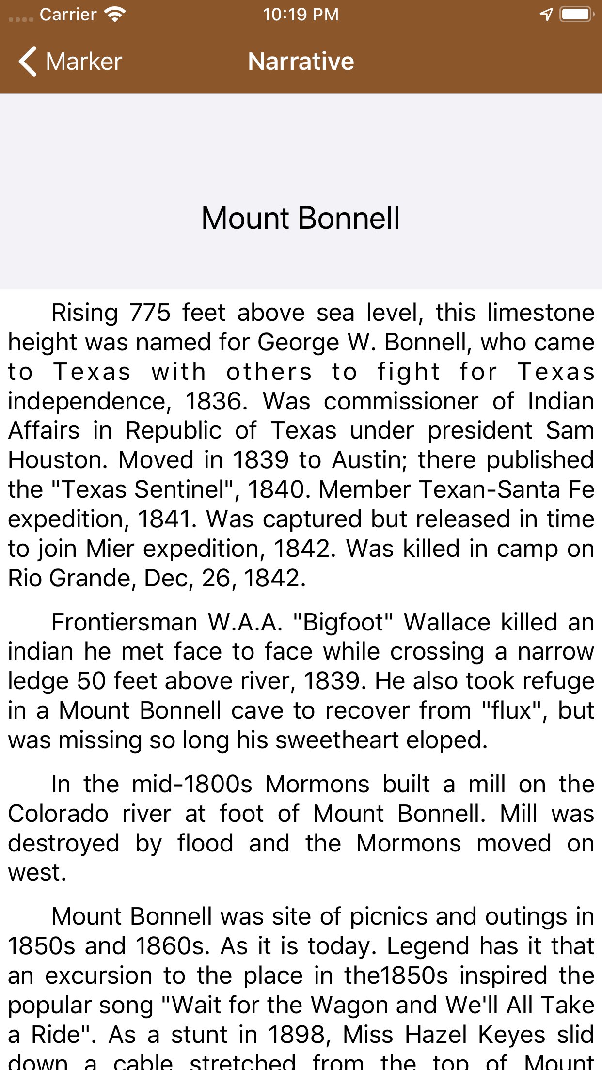
About Texas Historical Marker Guide
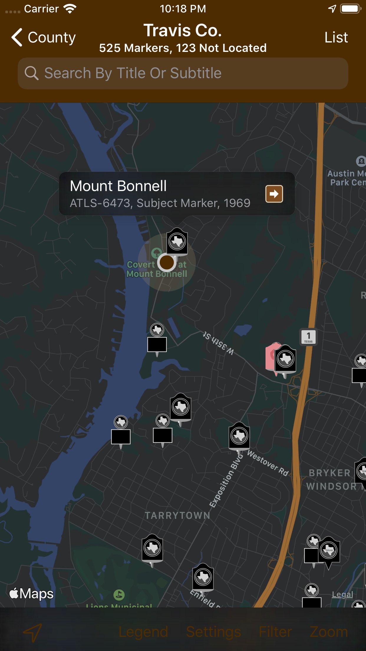
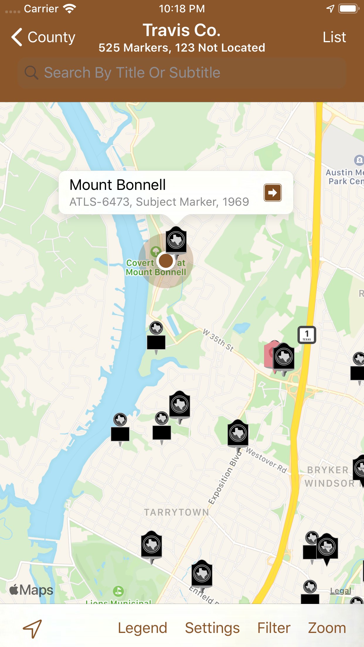
Texas is home to over 16,000 historical markers. And now there's an app to help you find them!
Features:
-Onboard marker database means you can browse markers without an Internet connection.
-Browse markers by geographic locations including cities and counties.
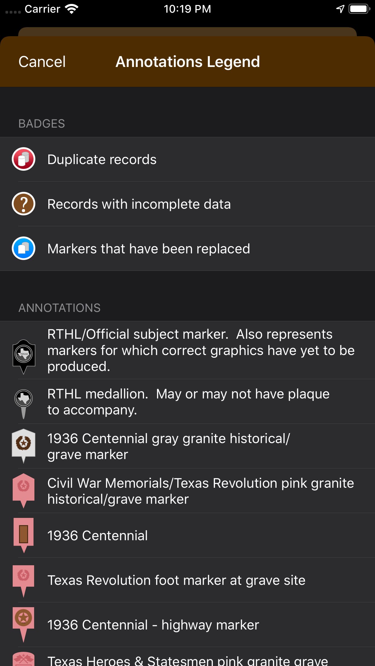
-Browse markers by governing agencies; manufacturers; and topics.
-Browse attractions where markers can be found including museums; cemeteries; state parks; historic districts; etc.
-Uses Location Services in the background (optionally) and notifies you when you enter a different Texas county! (Continuous use of GPS may reduce battery life.)
-Keep track of marker visits!
-Update marker coordinates! (Device with GPS radio required)
-Record marker conditions!
-Includes conditions of marker where reported.
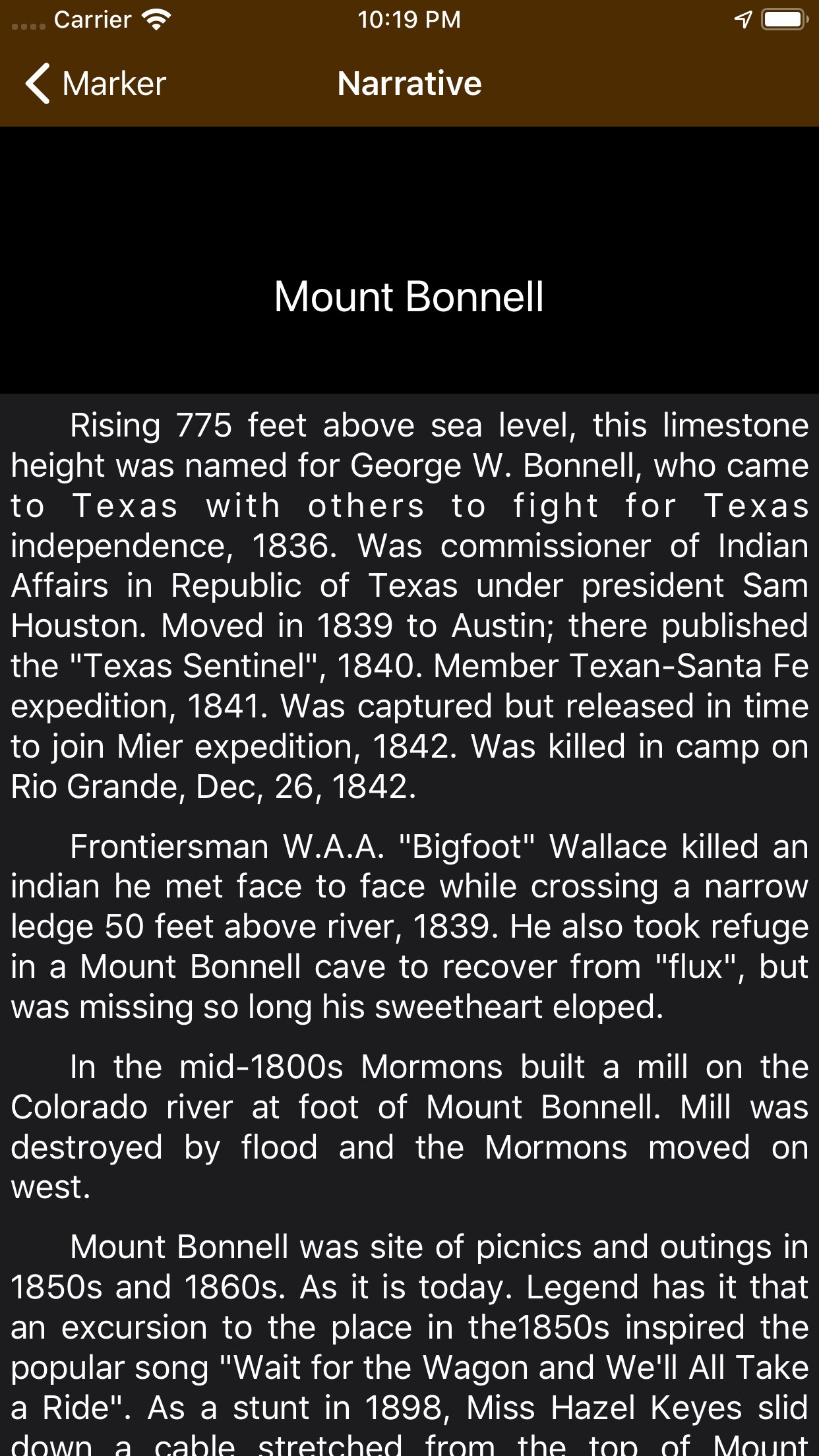
-Includes text for many markers with more being added frequently.
-Link marker records to existing pictures from your Photo Library! (Photos not included with app.)
-Share your favorite markers via Mail, and iMessage!
-Backup your user database to your computer using iTunes File Sharing. Backed up data includes: Markers you’ve checked in at; marker coordinates you’ve captured; favorite markers; flagged markers; shared markers; and markers you’ve browsed in the database.
Includes:
-Texas Centennial markers and monuments erected in 1936!
-Old San Antonio Road markers erected by DAR and the State of Texas in 1918!
-San Jacinto Battleground markers erected by DRT and the State of Texas in 1912!
-Complete Texas works of Pompeo Coppini!
-Selected Texas works of Waldine Tauch, Frank Teich, Elisabet Ney, and others!
-Selected DAR bronze plaques!
-Blue Star Memorial markers (all the ones we know about.)
-New markers erected since 2012!
License: Commercial
Features:
-Onboard marker database means you can browse markers without an Internet connection.
-Browse markers by geographic locations including cities and counties.
-Browse markers by governing agencies; manufacturers; and topics.
-Browse attractions where markers can be found including museums; cemeteries; state parks; historic districts; etc.
-Uses Location Services in the background (optionally) and notifies you when you enter a different Texas county! (Continuous use of GPS may reduce battery life.)
-Keep track of marker visits!
-Update marker coordinates! (Device with GPS radio required)
-Record marker conditions!
-Includes conditions of marker where reported.
-Includes text for many markers with more being added frequently.
-Link marker records to existing pictures from your Photo Library! (Photos not included with app.)
-Share your favorite markers via Mail, and iMessage!
-Backup your user database to your computer using iTunes File Sharing. Backed up data includes: Markers you’ve checked in at; marker coordinates you’ve captured; favorite markers; flagged markers; shared markers; and markers you’ve browsed in the database.
Includes:
-Texas Centennial markers and monuments erected in 1936!
-Old San Antonio Road markers erected by DAR and the State of Texas in 1918!
-San Jacinto Battleground markers erected by DRT and the State of Texas in 1912!
-Complete Texas works of Pompeo Coppini!
-Selected Texas works of Waldine Tauch, Frank Teich, Elisabet Ney, and others!
-Selected DAR bronze plaques!
-Blue Star Memorial markers (all the ones we know about.)
-New markers erected since 2012!
License: Commercial
| Release info | New Release on Oct 13, 2022 |
|---|---|
| Release notes | BUGFIXES -Fixed a crash when trying to view the narrative on iOS 16 -Fixed a bug which might have prevented the map from being interactive while a search is in progress. -Fixed a bug that prevented getting the current county. -Under the hood improvements make the app run much faster. UI/UX ENHANCEMENTS -Support for iPad has been improved. -New setting allows marker coordinate notifications to be disabled. (New coordinates will still be downloaded when browsing the details of a marker that has new coordinate data available.) -In the marker detail, if there are multiple relationships with the same marker, the related marker will now be listed once and all relationships will be listed in one table row. -Detail buttons in marker detail, when tapped, provide more information. -3D Touch support has been removed in favor of the new Context Menus feature introduced in iOS 13. -Support for new image picker introduced in iOS 14. -Support for iOS 15 DATA UPDATES -More narratives have been added and formatted. Street address; zip code; and plusCode data has been improved for markers in several cities and towns including but not limited to: Abbott; Alice; Amherst; Andrews; Anna; Annona; Anthony; Aquilla; Archer City; Arcola; Barnes; Bastrop; Bayside; Bay City; Baytown; Beasley; Beeville; Bellville; Bettie; Blessing; Blue Ridge; Boling; Borger; Brazoria; Brenham; Briggs; Brownsville; Brownwood; Buffalo; Camden; Camp Wood; Caney; Canyon Lake; Cedar Hill; Cedar Lake; Cedar Lane; Celeste; Center Point; Centerville; Chireno; Childress; Clifton; Clute; Colorado City; Columbus; Comanche; Comfort; Concan; Conroe; Crane; Corrigan; Cross Plains; Crystal City; Damon; Del Rio; De Leon; Denison; Diboll; Dublin; Douglass; Eagle Lake; Early; Earth; East Columbia; Eastland; Ebenezer; Edinburg; El Paso; Electra; Encino; Emory; Ezzell; Fairfield; Falfurrias; Farmersville; Fischer; Floresville; Fluvanna; Forney; Franklin; Fredericksburg; Frelsburg; Frydek; Gail; Gainesville; Galena Park; Garden |
| Listing data | App Store |
Reviews
No reviews yet. Be the first to review Texas Historical Marker Guide.
Used Texas Historical Marker Guide? Tell other visitors what you thought.
Log in to write a reviewOther products by this publisher
- "No Distractions" for YouTube 4.10 ----
- #Bible 11.6 "Incredible App - My sister shared this app with me a few weeks ago and it is truly incredible.
- #filmphotography 1.4.2 So, you decided to shoot on film?
- $quirrel 1.5.1 $quirrel Budget & Finance helps you plan each paycheck, track spending, manage debt, and see what is safe to spend before the next payday.
- % Percentage Calculator Pro 1.41 This is the Pro version of % Percentage Calculator.
Most viewed iOS Navigation
-
1
 Compass App 1.0.5
Find your direction with style.
-
2
 CARFACE Car Widgets & Lyrics 1.2.1
Make every drive feel more personal with CarFace.
-
3
 iGlide Lite 2.9.66
NaviLogic iGlide - the Soaring Navigation app for iOS
-
4
 Open Road 1.2
Open Road is the one driving app for your iPhone.
-
5
 Turo 26.45.1
Turo is a better car rental app for travelers who want to rent a car without the rental counter.
-
6
 Uber 3.747.10000
Join the millions of riders who trust Uber for their everyday travel needs.
-
7
 Fly Delta 7.17.3
Welcome to Fly Delta, Delta’s award winning iOS app.
-
8
 Kruger Birding by Firefinch 7.6.0
Go birding in South Africa's foremost birding spot: the world renowned Kruger National Park!
-
9
 Amtrak 6.1.8
Discover the convenience of traveling with Amtrak.
-
10
 Lyft 2026.43.3
Get where you’re going with Lyft.
Most downloaded iOS Navigation
-
1
 Live Traffic 2.4
Navigate the globe with live traffic updates, satellite views, and location tools that make every journey clearer, smarter, and more confident from the very first tap.
-
2
 Peru’s Best 2.5
PERU’S BEST is the ideal travel guide to this extraordinary country.
-
3
 Grand Egyptian Museum (GEM) 0.1.060
You could call this a coincidence but the acronym of the Grand Egyptian Museum is an apt title for the GEM, which is truly one!
-
4
 Pocket Luach Deluxe 60058
Pocket Luach Deluxe is a Jewish calendar, zmanim, Siddur, Tehillim, and personal-event companion for iPhone, iPad, and Apple Watch.
-
5
 Outdoor Photography Magazine 7.2.10
Outdoor Photography is the magazine for photographers who are passionate about being out in wild places, seeing inspiring nature and having great adventures.
-
6
 Passeporté 1.3.2
Passeporté reads the NFC chip in your biometric passport or national eID card, verifies its authenticity, and stores the data securely on your device.
-
7
 Great Circle Map 1.7.5
A globe you can turn in any direction, including straight over the poles.
-
8
 UK Map 4.12
* Unlimited free map downloads based on Ordnance Survey® OpenData, at 1:25,000 and 1:10,000 scales, and now also paid map downloads at 1:50,000, 1:25,000 and 1:10,000 scales, just like the paper maps.
-
9
 Connecticut-Parks & Trails 1.0
App Feature
-
10
 Cell Phone Towers World Map 1.1.6
219 countres !! The world's largest Database of Cell & Net Towers