19downloads
9this week
FreeCommercial
0reviews
Screenshots
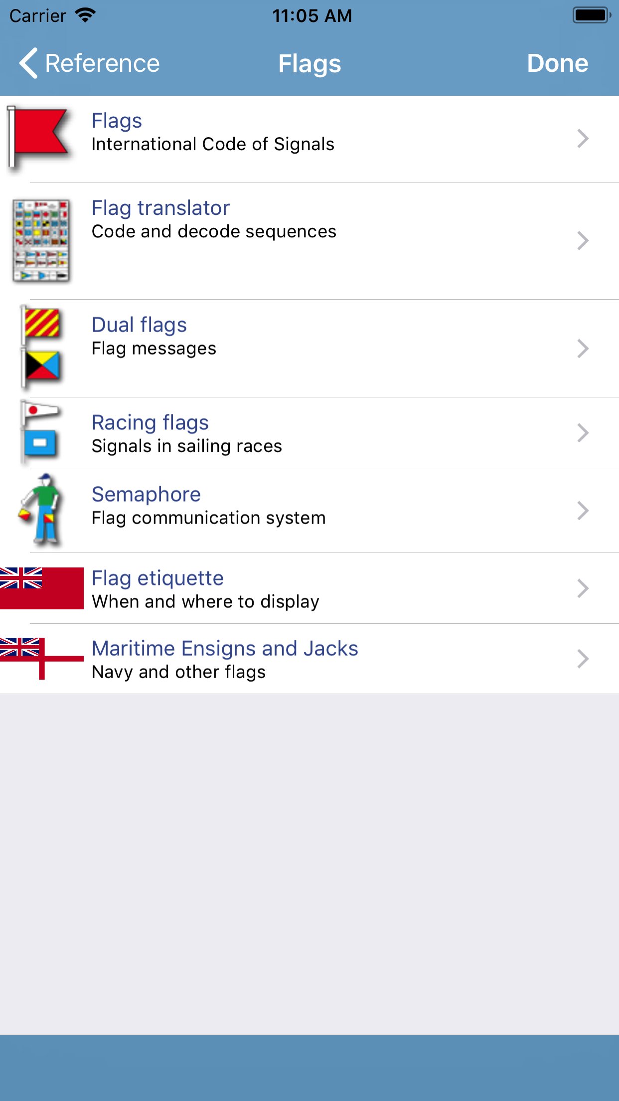
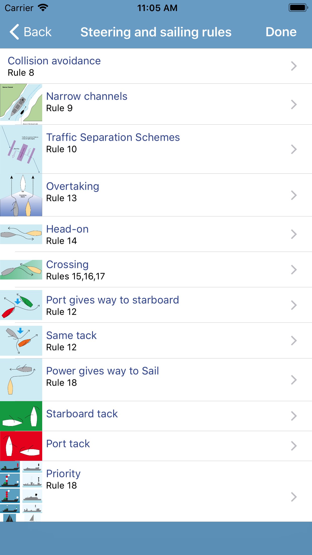
About Marine Rules & Signals
The reference guide to rules and signals at sea. Part of a series of Marine Navigation apps, Rules & Signals is a useful tool for sailors, fishermen, surfers and people involved in sea water sports. The Imray Marine Navigation reference products are intended for quick reference and learning.
Beautifully illustrated with diagrams and short, clear text. Remind yourself quickly about a rule or light, or learn at home, traveling or in the winter while planning your trips.
INCLUDES
RULES OF THE ROAD:
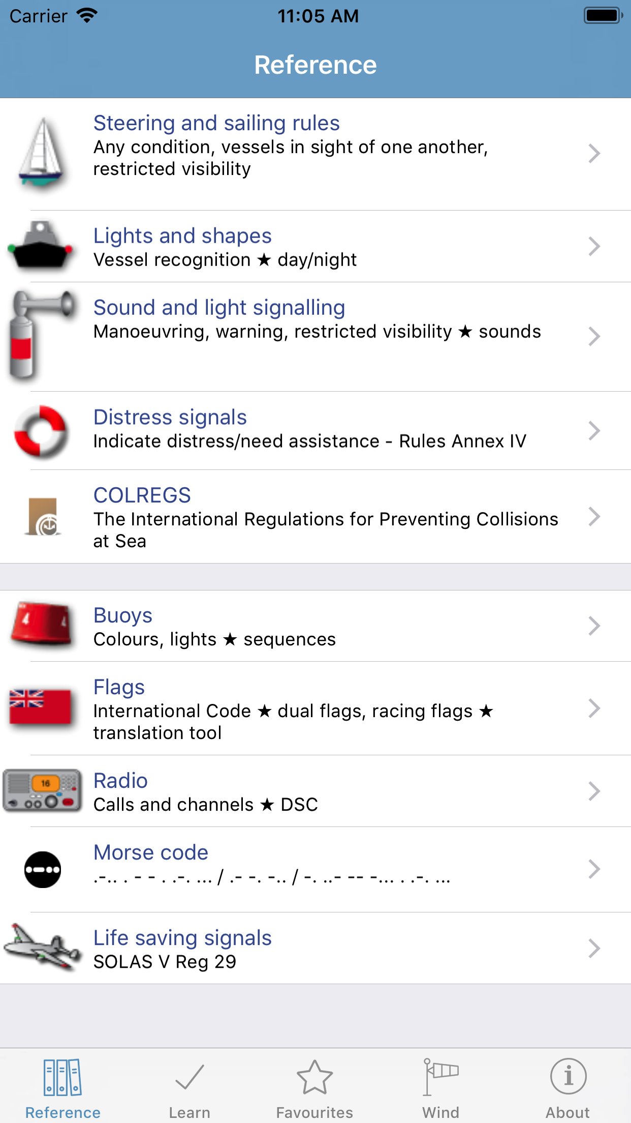
- Steering and sailing rules.
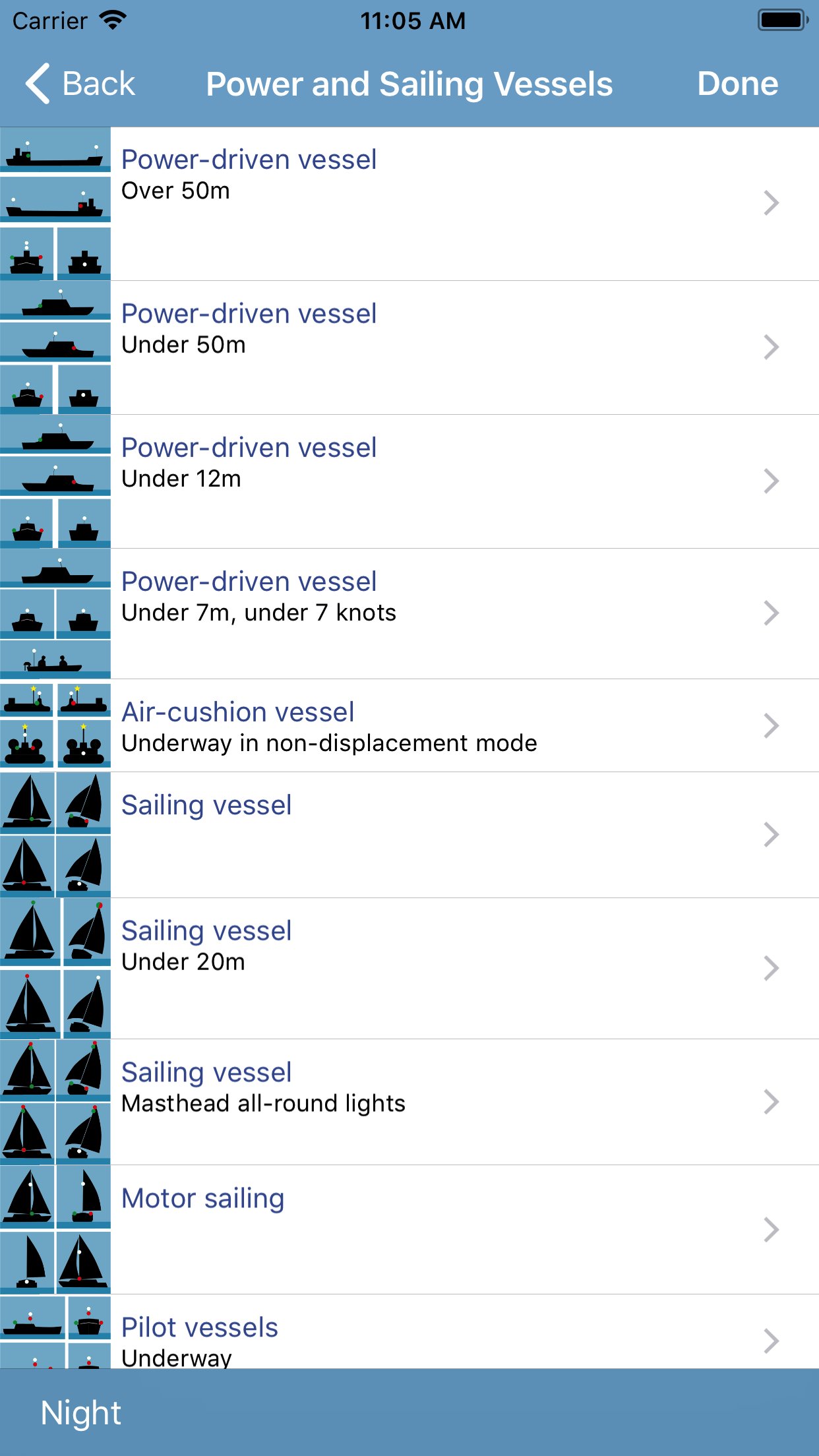
- Lights and shapes: day and night time marking of boats.
- Sound signals in restricted visibility. Actual sounds.
- Distress signals.
- Full Colregs text.
SIGNALS & COMMUNICATION:
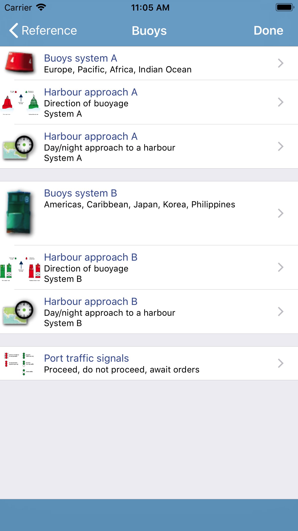
- Buoys: worldwide buoyage systems A & B and animated harbour approaches.
- Buoy lights, animated.
- Sample harbour charts from around the world, with animated lights.
- Flags: flag translator, phonetic alphabet, morse code and message builder.
- Dual flag messages.
- Racing flags.
- Semaphore flags.
- Radio calls including Mayday/PanPan and radio channels.
- Life saving communication including air rescue: Solas V.
- Communication with air rescue.
LEARNING SYSTEM:
- Learning cards for all content, by section or for all Rules together.
Content can be scrolled, viewed individually or in sequence. Large images (charts and at a glance images) can be zoomed and panned.
Based on the International Regulations for Preventing Collisions and Sea, 1972, with amendments in force from November 1995, SOLAS Chapter V Regulation 29 and the general guidelines for buoys and signals.
LANGUAGES
English, French, German, Italian, Spanish, Japanese
ABOUT US
Imray are a leading chart and marine book publishers, based in England and with a catalogue of charts that covers Europe, the Mediterranean and the Caribbean. Imray's pilot books cover the whole world in extensive detail.
In partnership with Imray, software developers and sailors.
Follow us on Twitter - [link removed]
Facebook - imraynautical
Look out for other applications in the Marine Navigation Series from Imray:
TIDES PLANNER - tide predictions any date
MARINE CHARTS - Europe Atlantic, Mediterranean, Caribbean, Australia
BOAT INSTRUMENTS & AIS (requires WiFI NMEA bridge)
CHART SYMBOLS
License: Commercial
Beautifully illustrated with diagrams and short, clear text. Remind yourself quickly about a rule or light, or learn at home, traveling or in the winter while planning your trips.
INCLUDES
RULES OF THE ROAD:
- Steering and sailing rules.
- Lights and shapes: day and night time marking of boats.
- Sound signals in restricted visibility. Actual sounds.
- Distress signals.
- Full Colregs text.
SIGNALS & COMMUNICATION:
- Buoys: worldwide buoyage systems A & B and animated harbour approaches.
- Buoy lights, animated.
- Sample harbour charts from around the world, with animated lights.
- Flags: flag translator, phonetic alphabet, morse code and message builder.
- Dual flag messages.
- Racing flags.
- Semaphore flags.
- Radio calls including Mayday/PanPan and radio channels.
- Life saving communication including air rescue: Solas V.
- Communication with air rescue.
LEARNING SYSTEM:
- Learning cards for all content, by section or for all Rules together.
Content can be scrolled, viewed individually or in sequence. Large images (charts and at a glance images) can be zoomed and panned.
Based on the International Regulations for Preventing Collisions and Sea, 1972, with amendments in force from November 1995, SOLAS Chapter V Regulation 29 and the general guidelines for buoys and signals.
LANGUAGES
English, French, German, Italian, Spanish, Japanese
ABOUT US
Imray are a leading chart and marine book publishers, based in England and with a catalogue of charts that covers Europe, the Mediterranean and the Caribbean. Imray's pilot books cover the whole world in extensive detail.
In partnership with Imray, software developers and sailors.
Follow us on Twitter - [link removed]
Facebook - imraynautical
Look out for other applications in the Marine Navigation Series from Imray:
TIDES PLANNER - tide predictions any date
MARINE CHARTS - Europe Atlantic, Mediterranean, Caribbean, Australia
BOAT INSTRUMENTS & AIS (requires WiFI NMEA bridge)
CHART SYMBOLS
License: Commercial
| Release info | New Release on Oct 07, 2019 |
|---|---|
| Release notes | - iOS13 compatibility including dark mode. |
| Listing data | App Store |
Reviews
No reviews yet. Be the first to review Marine Rules & Signals.
Used Marine Rules & Signals? Tell other visitors what you thought.
Log in to write a reviewOther products by this publisher
- "No Distractions" for YouTube 4.10 ----
- #Bible 11.6 "Incredible App - My sister shared this app with me a few weeks ago and it is truly incredible.
- #filmphotography 1.4.2 So, you decided to shoot on film?
- $quirrel 1.5.1 $quirrel Budget & Finance helps you plan each paycheck, track spending, manage debt, and see what is safe to spend before the next payday.
- % Percentage Calculator Pro 1.41 This is the Pro version of % Percentage Calculator.
Most viewed iOS Navigation
-
1
 Compass App 1.0.5
Find your direction with style.
-
2
 CARFACE Car Widgets & Lyrics 1.2.1
Make every drive feel more personal with CarFace.
-
3
 iGlide Lite 2.9.66
NaviLogic iGlide - the Soaring Navigation app for iOS
-
4
 Open Road 1.2
Open Road is the one driving app for your iPhone.
-
5
 Turo 26.45.1
Turo is a better car rental app for travelers who want to rent a car without the rental counter.
-
6
 Fly Delta 7.17.3
Welcome to Fly Delta, Delta’s award winning iOS app.
-
7
 Kruger Birding by Firefinch 7.6.0
Go birding in South Africa's foremost birding spot: the world renowned Kruger National Park!
-
8
 Uber 3.747.10000
Join the millions of riders who trust Uber for their everyday travel needs.
-
9
 Amtrak 6.1.8
Discover the convenience of traveling with Amtrak.
-
10
 Lyft 2026.43.3
Get where you’re going with Lyft.
Most downloaded iOS Navigation
-
1
 Live Traffic 2.4
Navigate the globe with live traffic updates, satellite views, and location tools that make every journey clearer, smarter, and more confident from the very first tap.
-
2
 Peru’s Best 2.5
PERU’S BEST is the ideal travel guide to this extraordinary country.
-
3
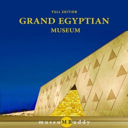 Grand Egyptian Museum (GEM) 0.1.060
You could call this a coincidence but the acronym of the Grand Egyptian Museum is an apt title for the GEM, which is truly one!
-
4
 Outdoor Photography Magazine 7.2.10
Outdoor Photography is the magazine for photographers who are passionate about being out in wild places, seeing inspiring nature and having great adventures.
-
5
 Pocket Luach Deluxe 60058
Pocket Luach Deluxe is a Jewish calendar, zmanim, Siddur, Tehillim, and personal-event companion for iPhone, iPad, and Apple Watch.
-
6
 Passeporté 1.3.2
Passeporté reads the NFC chip in your biometric passport or national eID card, verifies its authenticity, and stores the data securely on your device.
-
7
 Great Circle Map 1.7.5
A globe you can turn in any direction, including straight over the poles.
-
8
 UK Map 4.12
* Unlimited free map downloads based on Ordnance Survey® OpenData, at 1:25,000 and 1:10,000 scales, and now also paid map downloads at 1:50,000, 1:25,000 and 1:10,000 scales, just like the paper maps.
-
9
 Connecticut-Parks & Trails 1.0
App Feature
-
10
 Cell Phone Towers World Map 1.1.6
219 countres !! The world's largest Database of Cell & Net Towers